Australia Docklands Harbour View
设计方:Oculus Landscape Architecture
位置:澳大利亚
分类:公共环境
内容:实景照片
图片:11张
摄影师:Claire Takacs
该项目也被称为Docklands连接工程,该工程包括对人行通道和自行车道的改建,使这些交通道路之间互相连接起来,提高交通便捷度。这些地下通道的设立将Docklands州的各个管辖区连成一个整体来出现,这其中包括北部码头和世界贸易中心,还有澳大利亚中央商务区。
这些地下通道有些沿着河畔展开,有一种强烈的视觉效应,它们似乎迫使周边的自然环境与之相衬。而且,设计团队通过一系列物质景观,视觉景观和工程性设计的融合来使周边的Yarra河流显得更有活力,而且将这个城市的西部地区点缀的更加美好,尤其是在本就壮丽的自然环境的衬托下,更显魅力。此次的地下通道系统无论是在结构上,景观搭配和城市设计美化上都十分协调。垂直的简单化网格结构形成了全新的景观,这里已经从一个传统的水平性码头过渡到了一个交通便捷,立体感强烈的码头风景。
译者:蝈蝈
The Linking Docklands project combines walking and cycle paths at a confluence of movement systems. The underpass links the Docklands precincts, with North Wharf the World Trade Centre, and the CBD. The underpass has a strong visual presence along the river necessitating an equally refined but legible design response. The underpass plays an essential role in the animation of the Yarra River and the western end of the city through its successful physical, visual and programmatic integration, with both its immediate and greater context. The underpass is an elegant integration of structure, architecture, urban design and landscape. A vertical vegetated grid forms new views as you transition from the horizontal landscape of the wharf and road sweeping out and over the river.
澳大利亚Docklands码头景观外部实景图
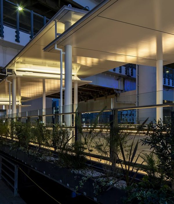
澳大利亚Docklands码头景观外部夜景实景图
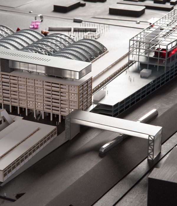
澳大利亚Docklands码头景观模型图
澳大利亚Docklands码头景观造略图
{{item.text_origin}}

